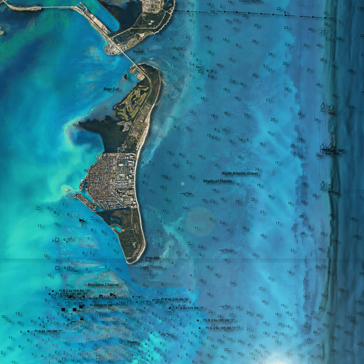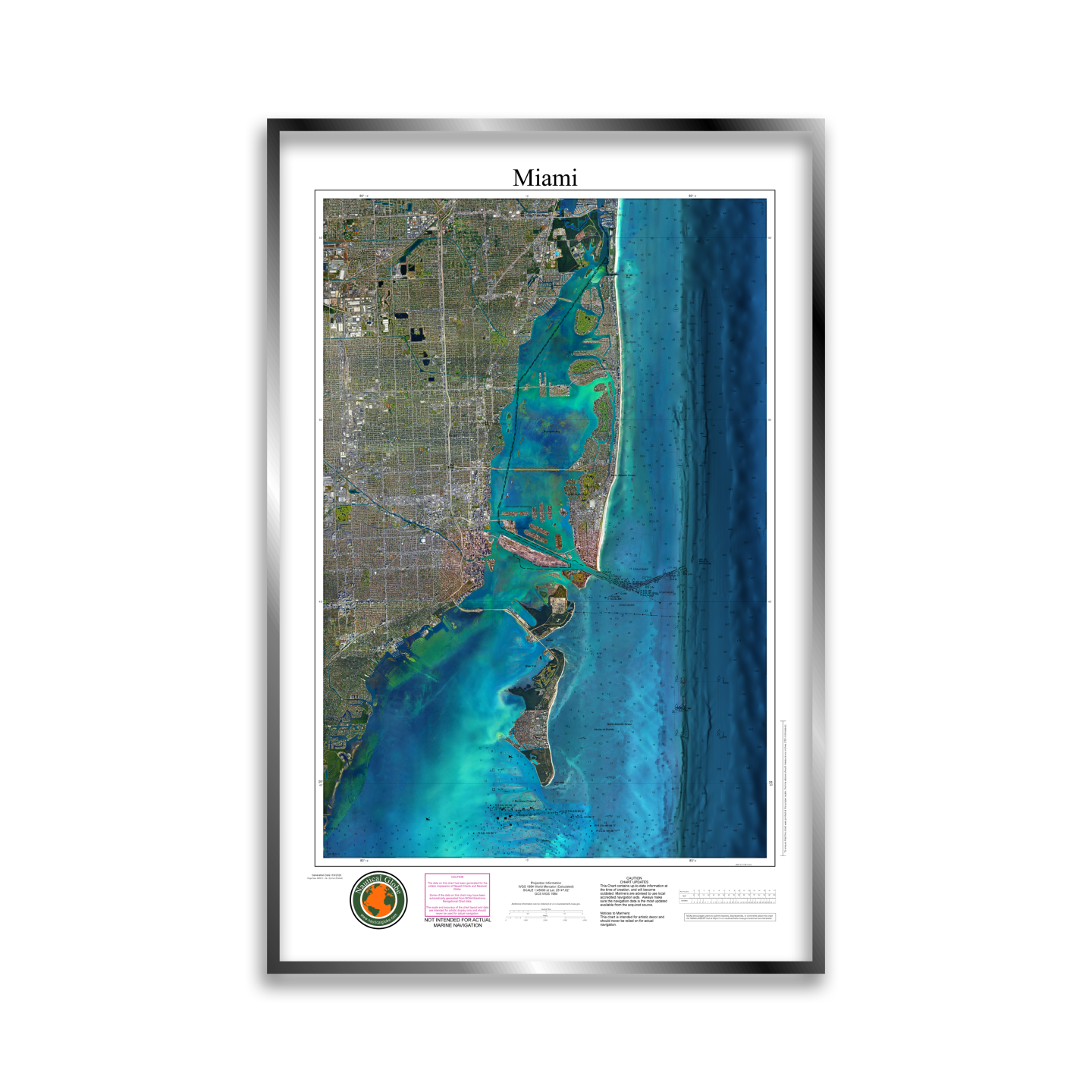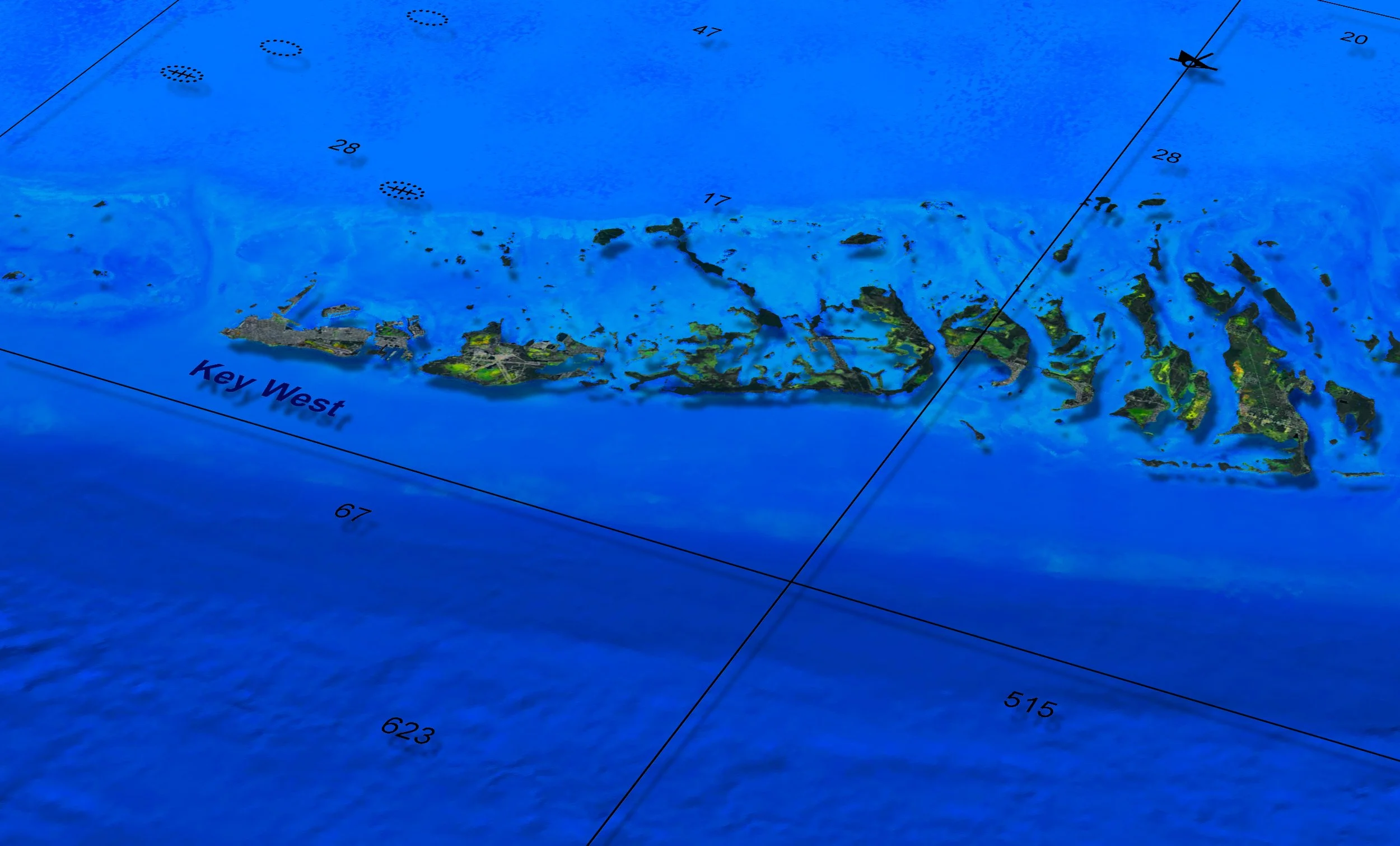
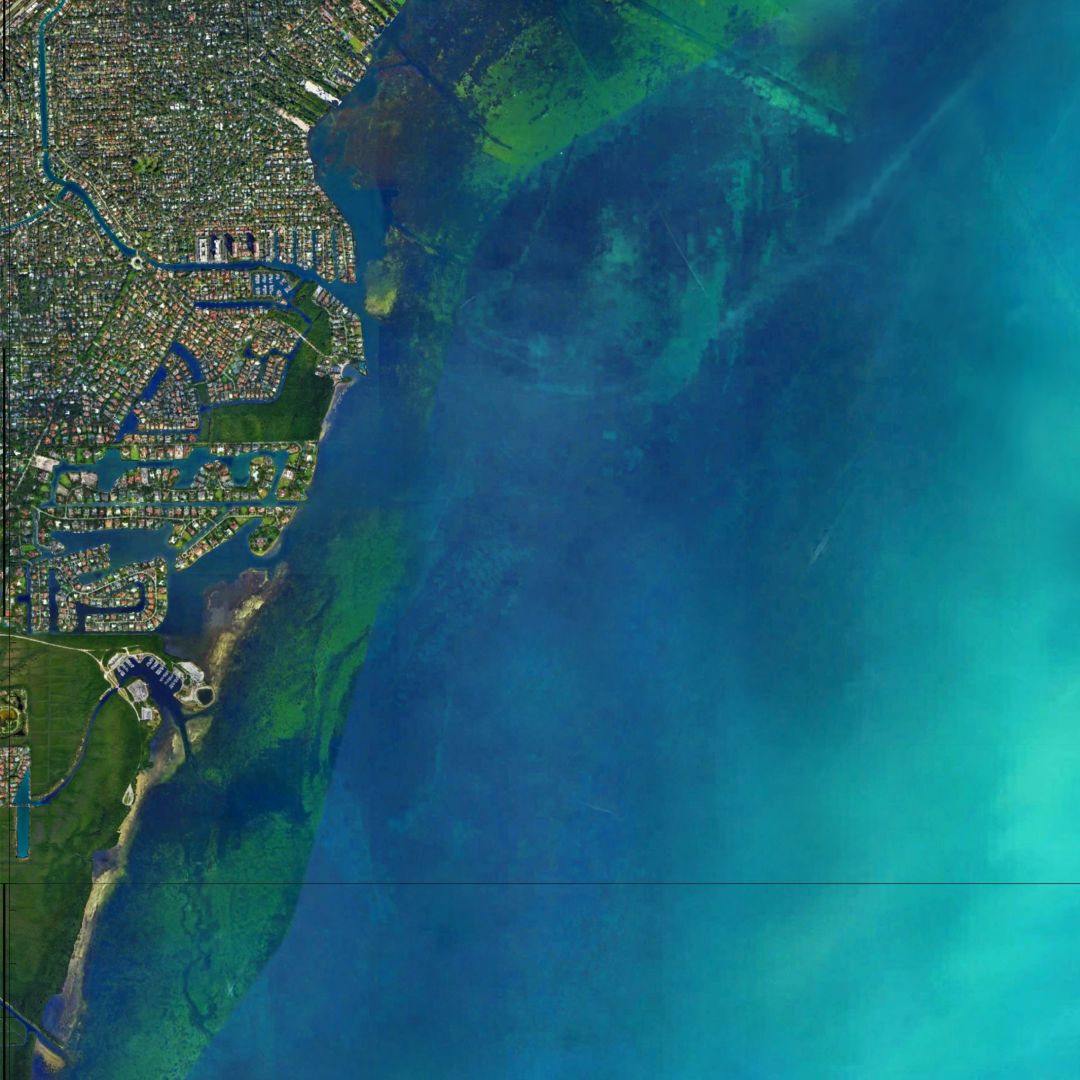
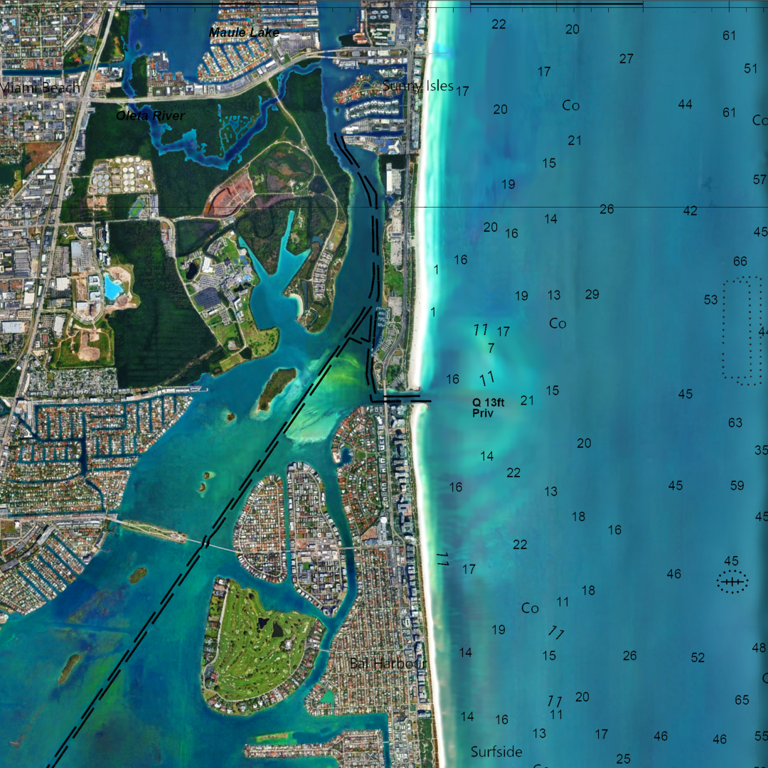
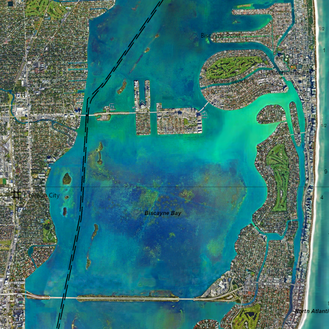
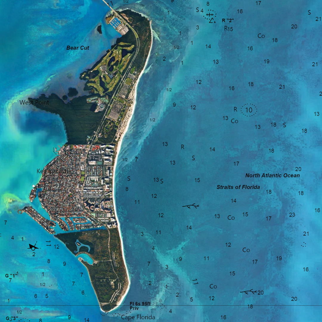
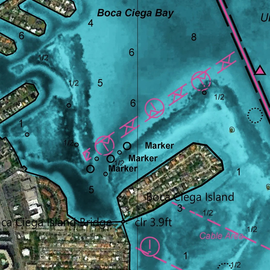
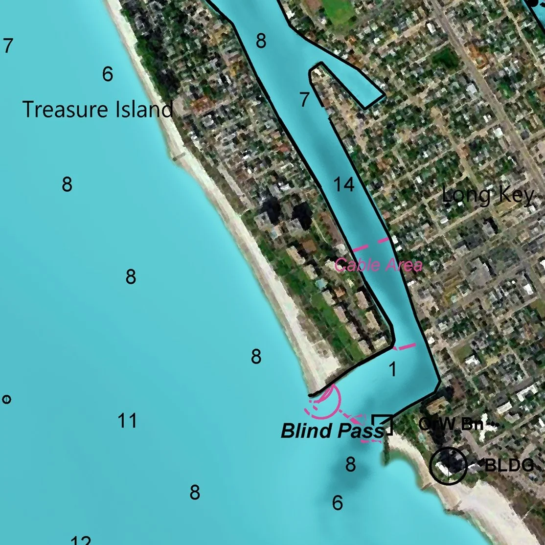
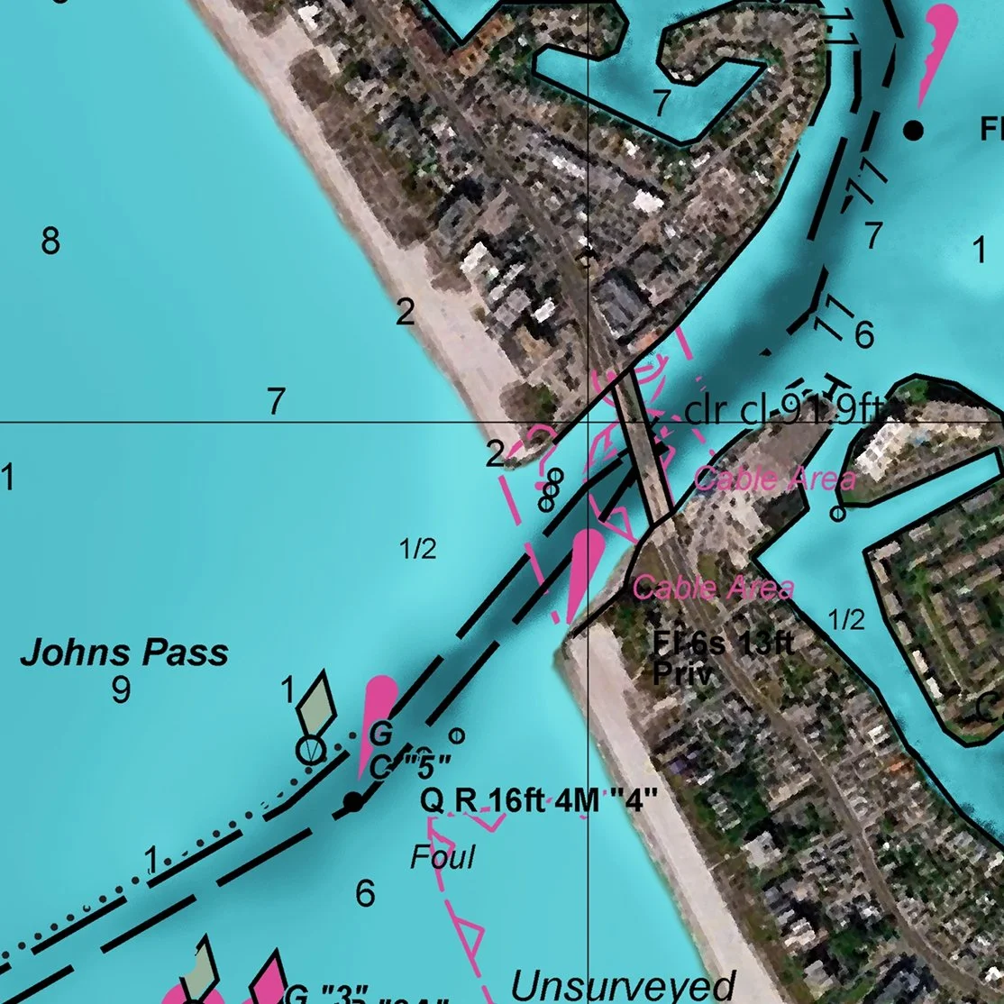
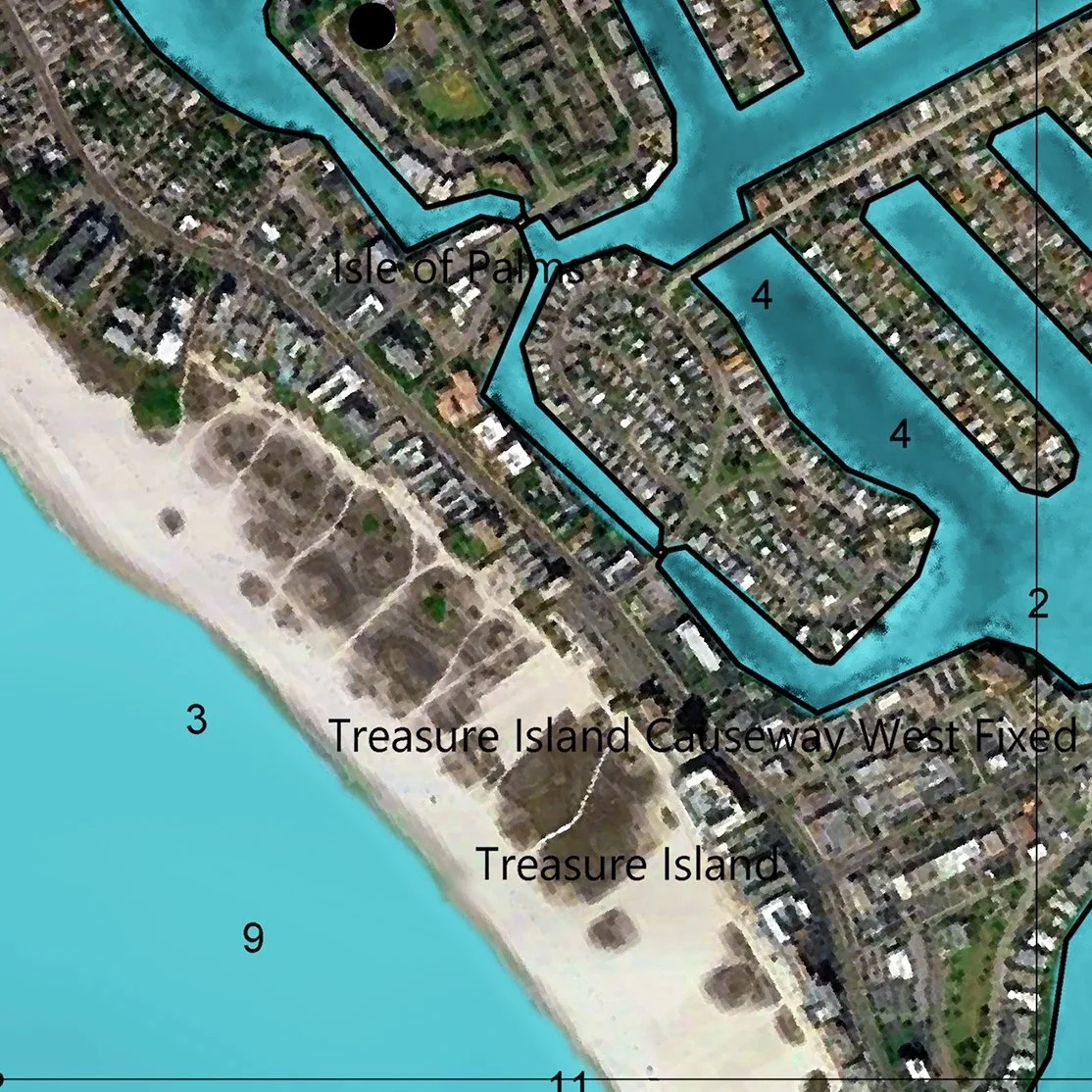
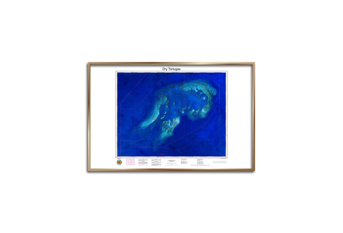
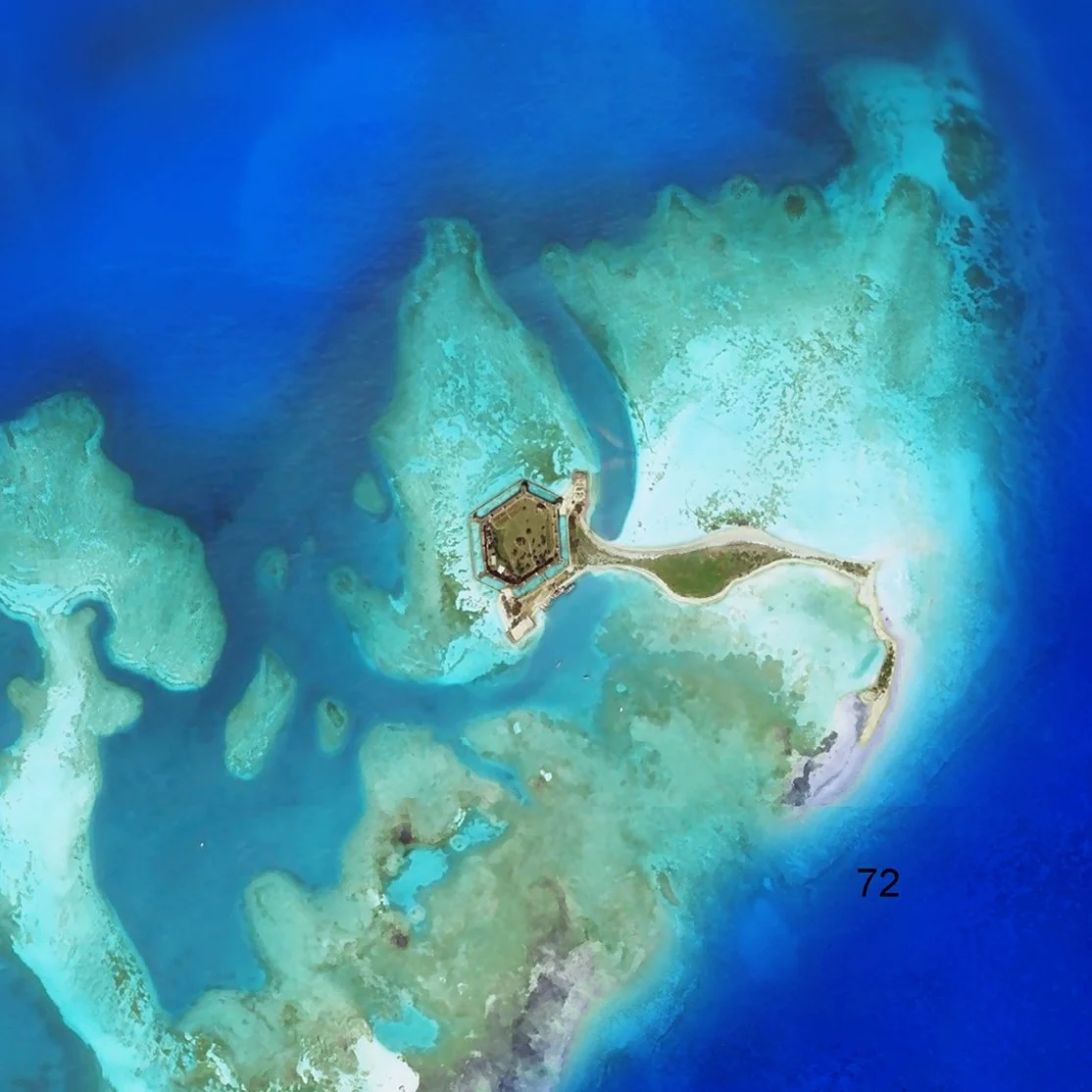
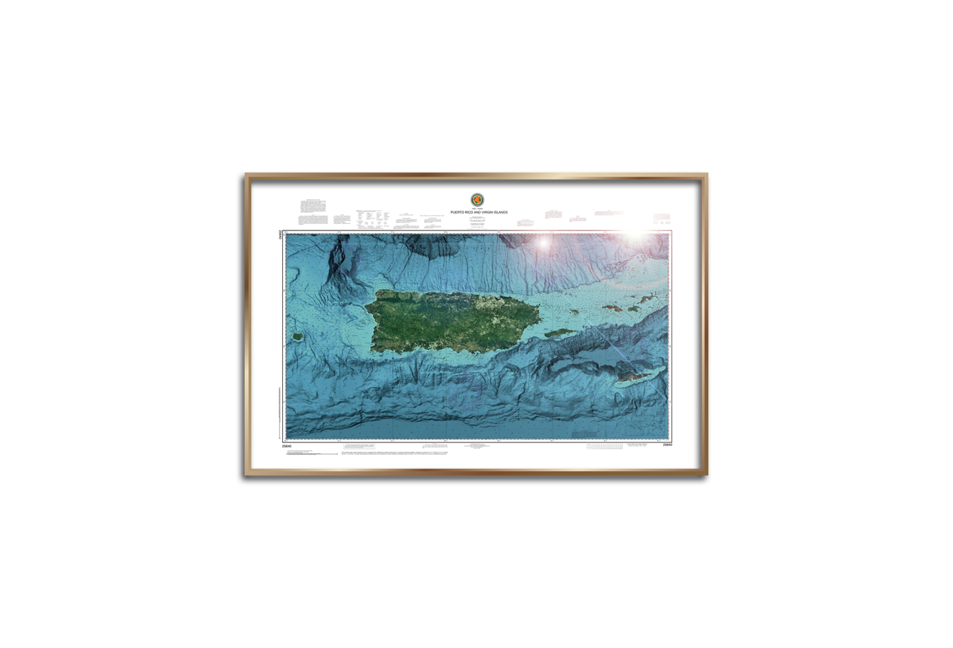
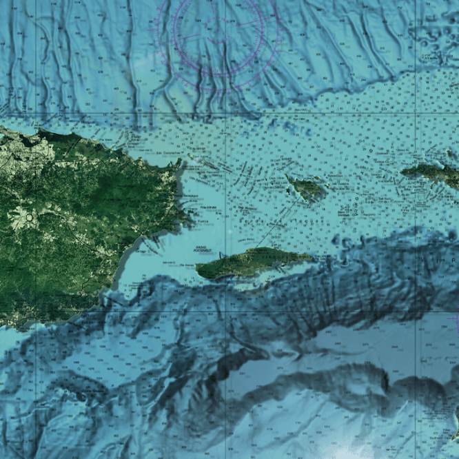
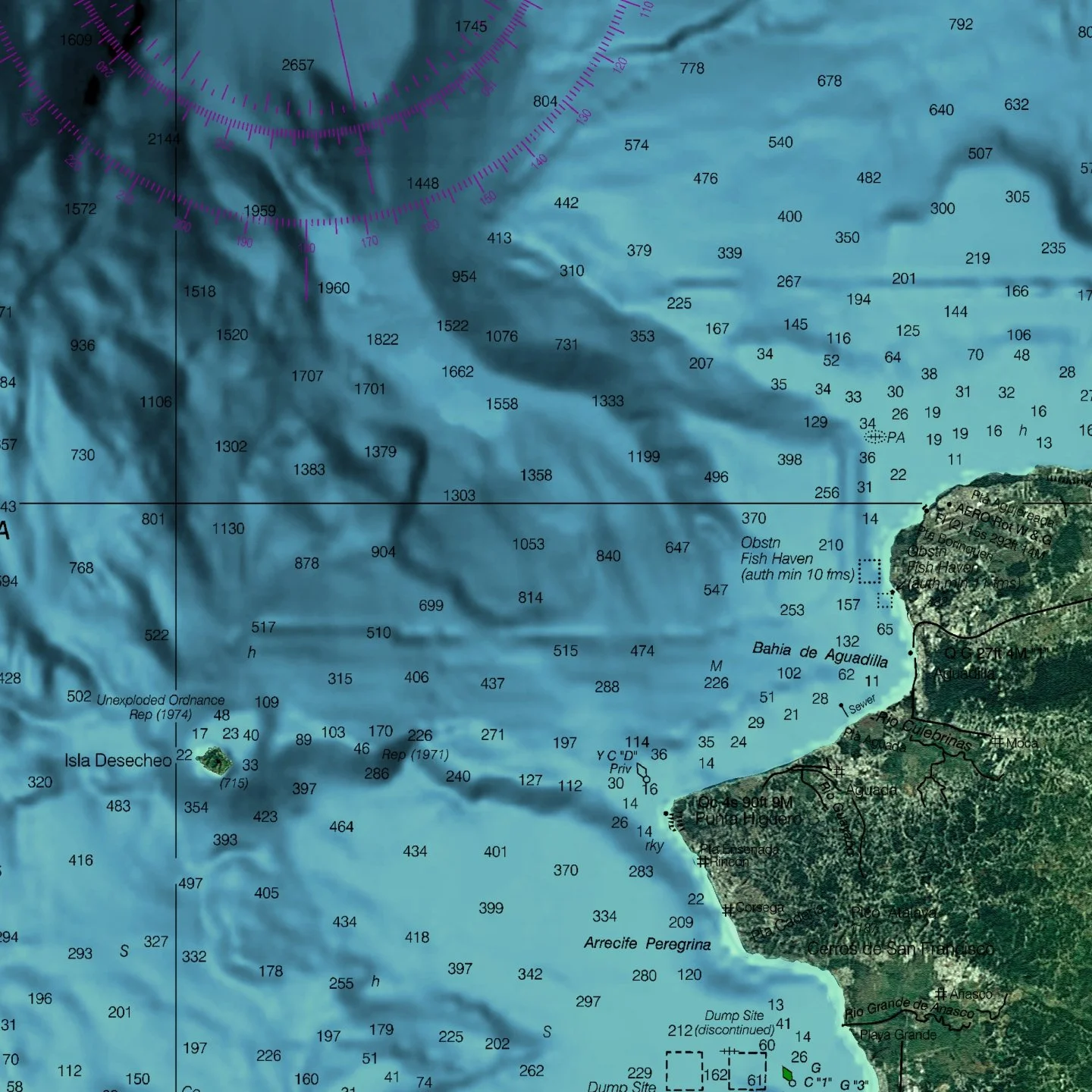
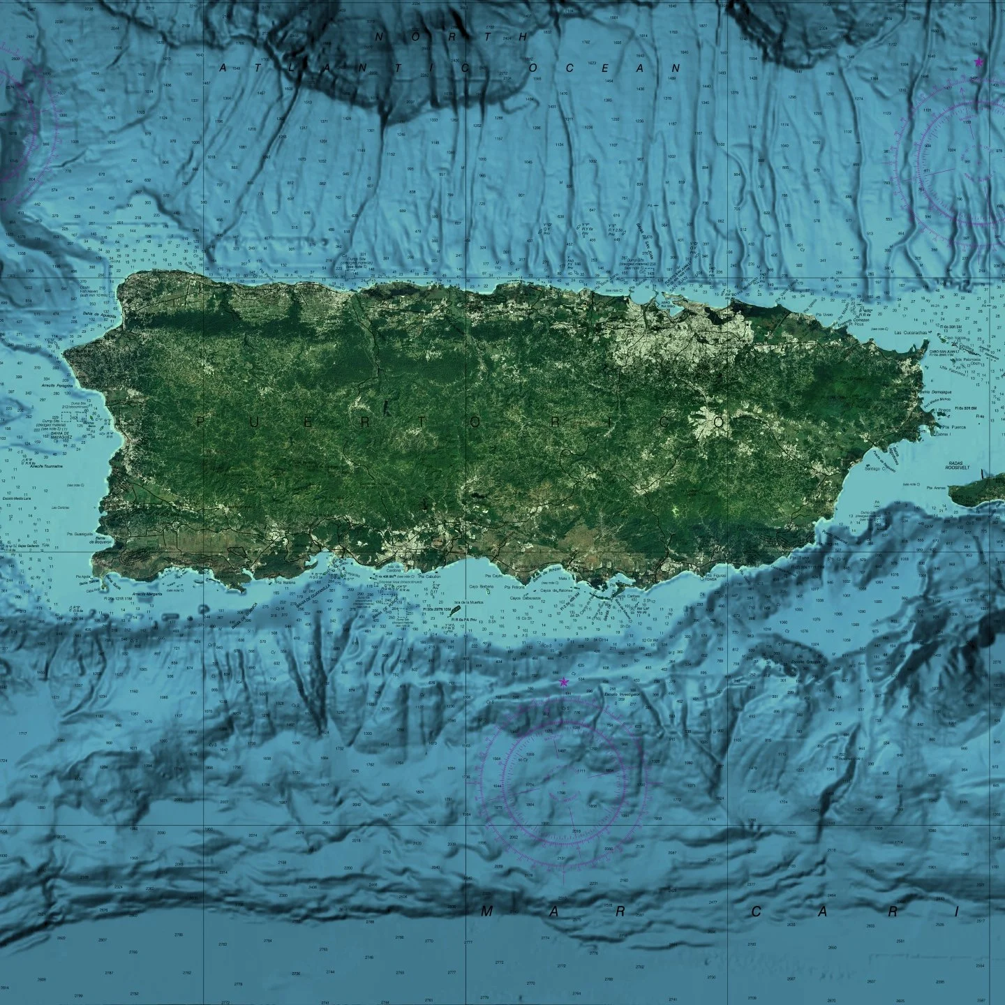
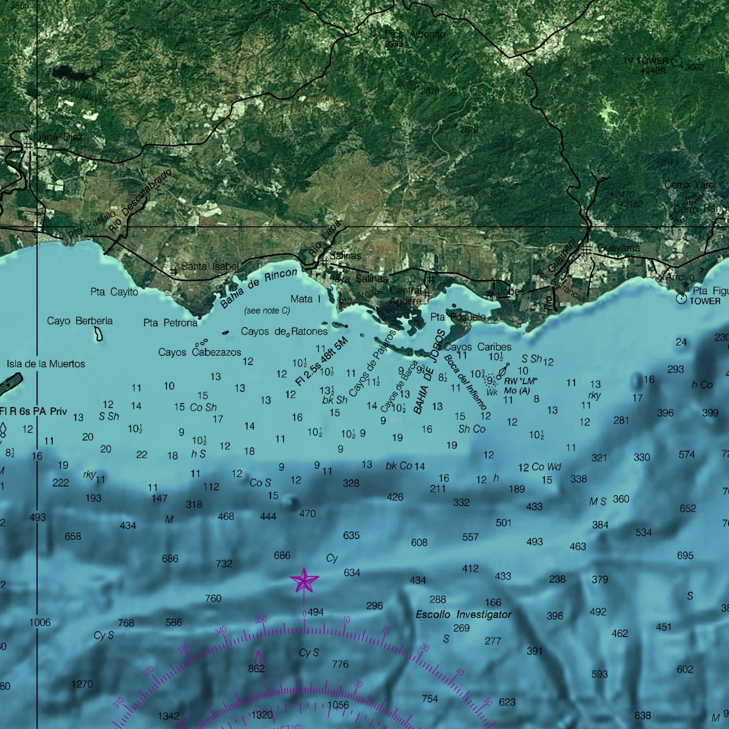
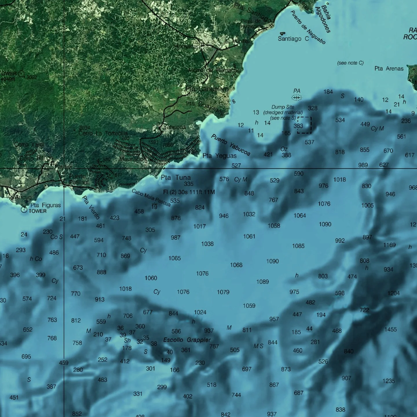
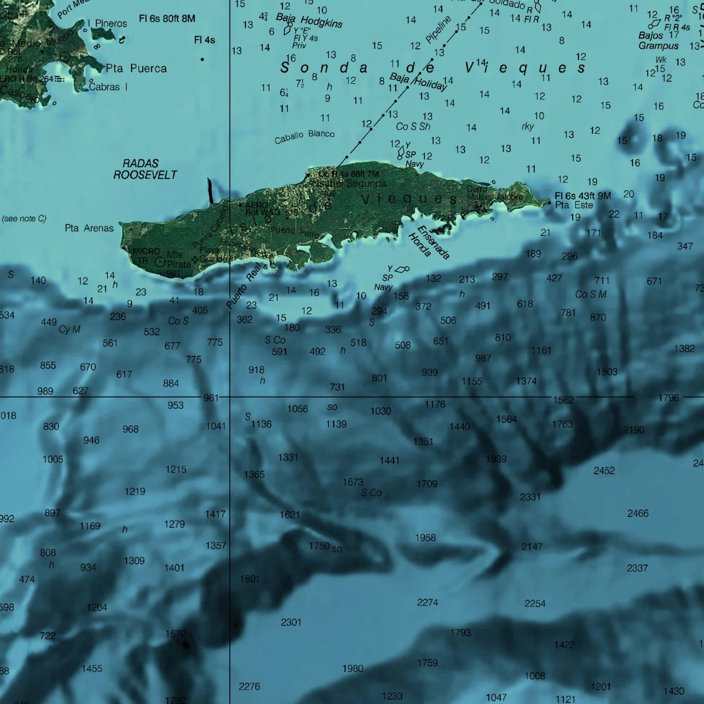
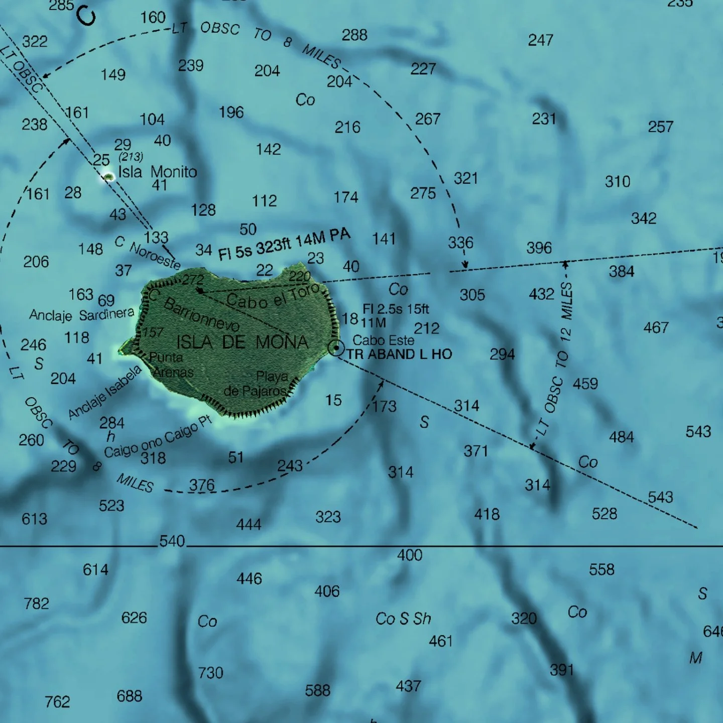
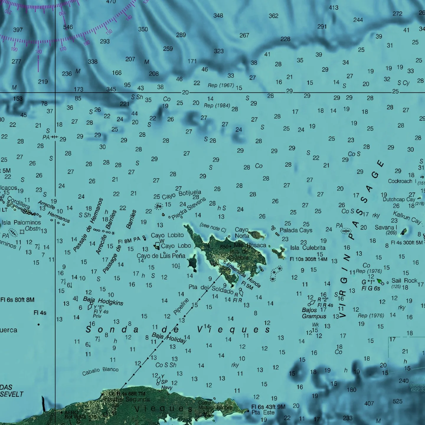
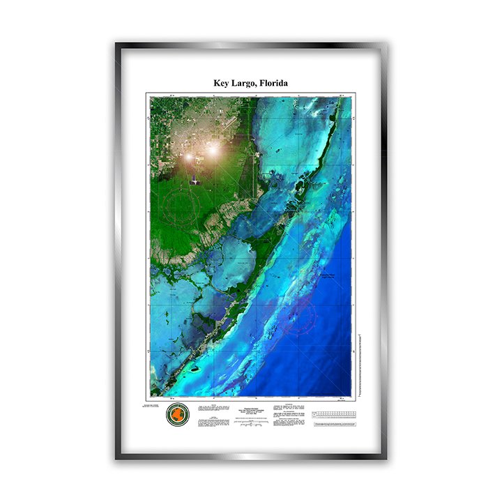
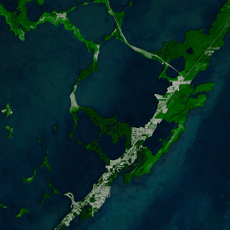
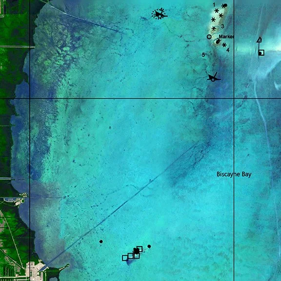
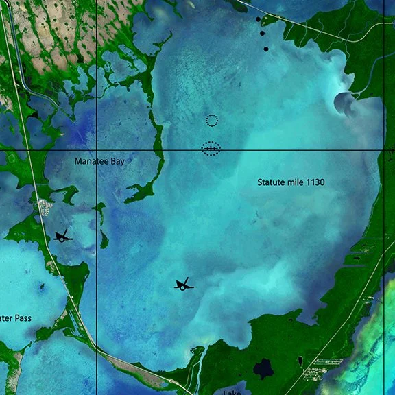
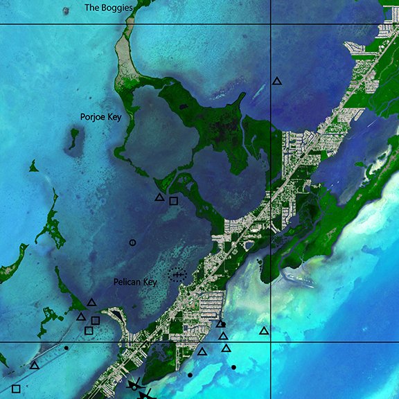
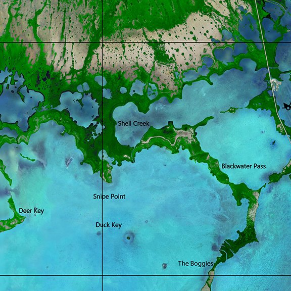
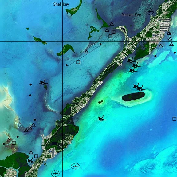
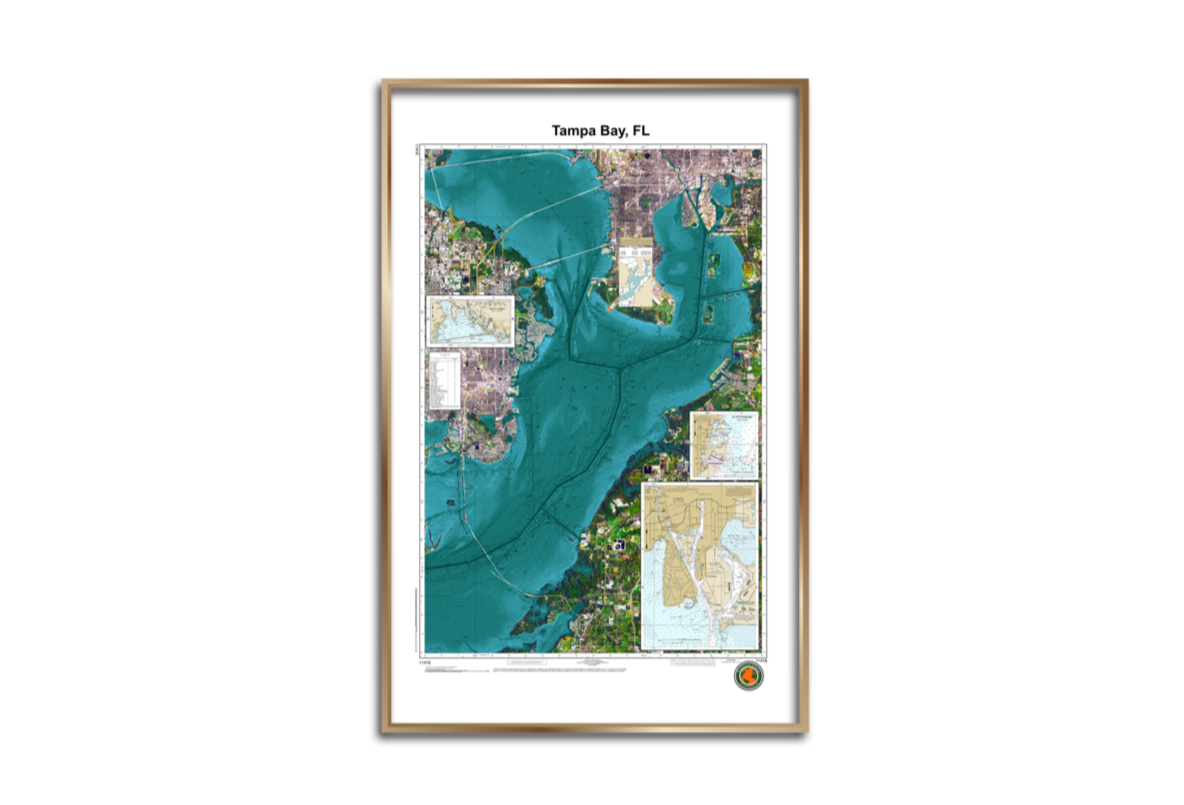
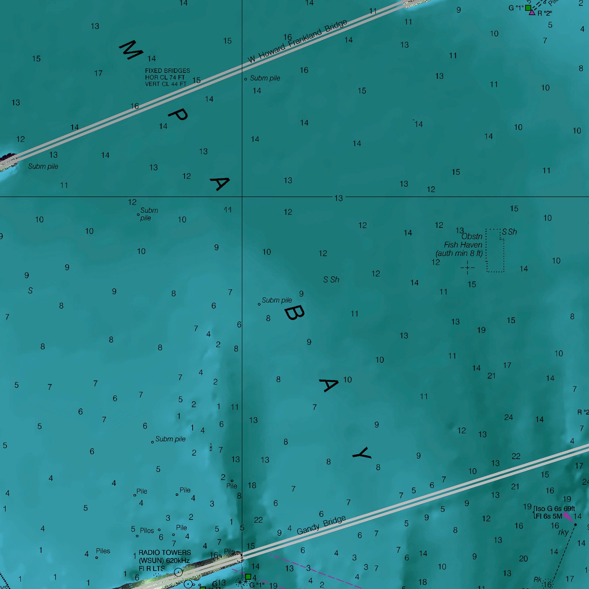
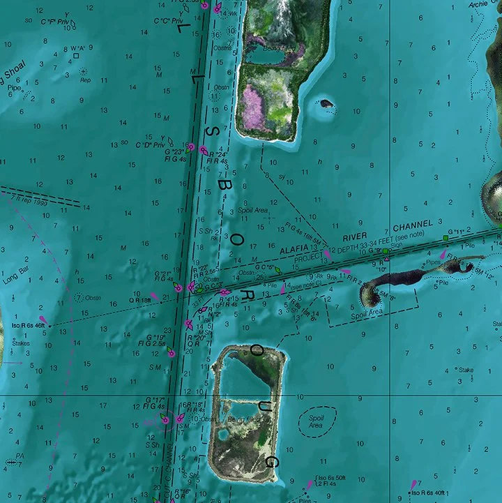
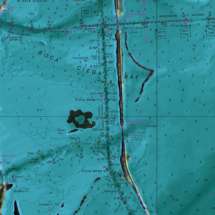
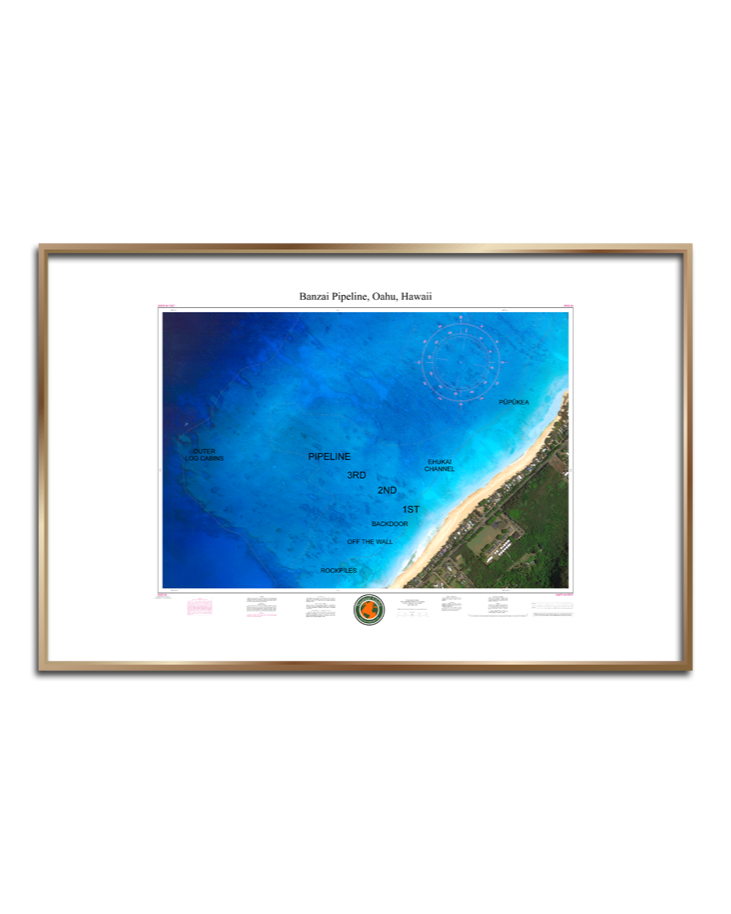
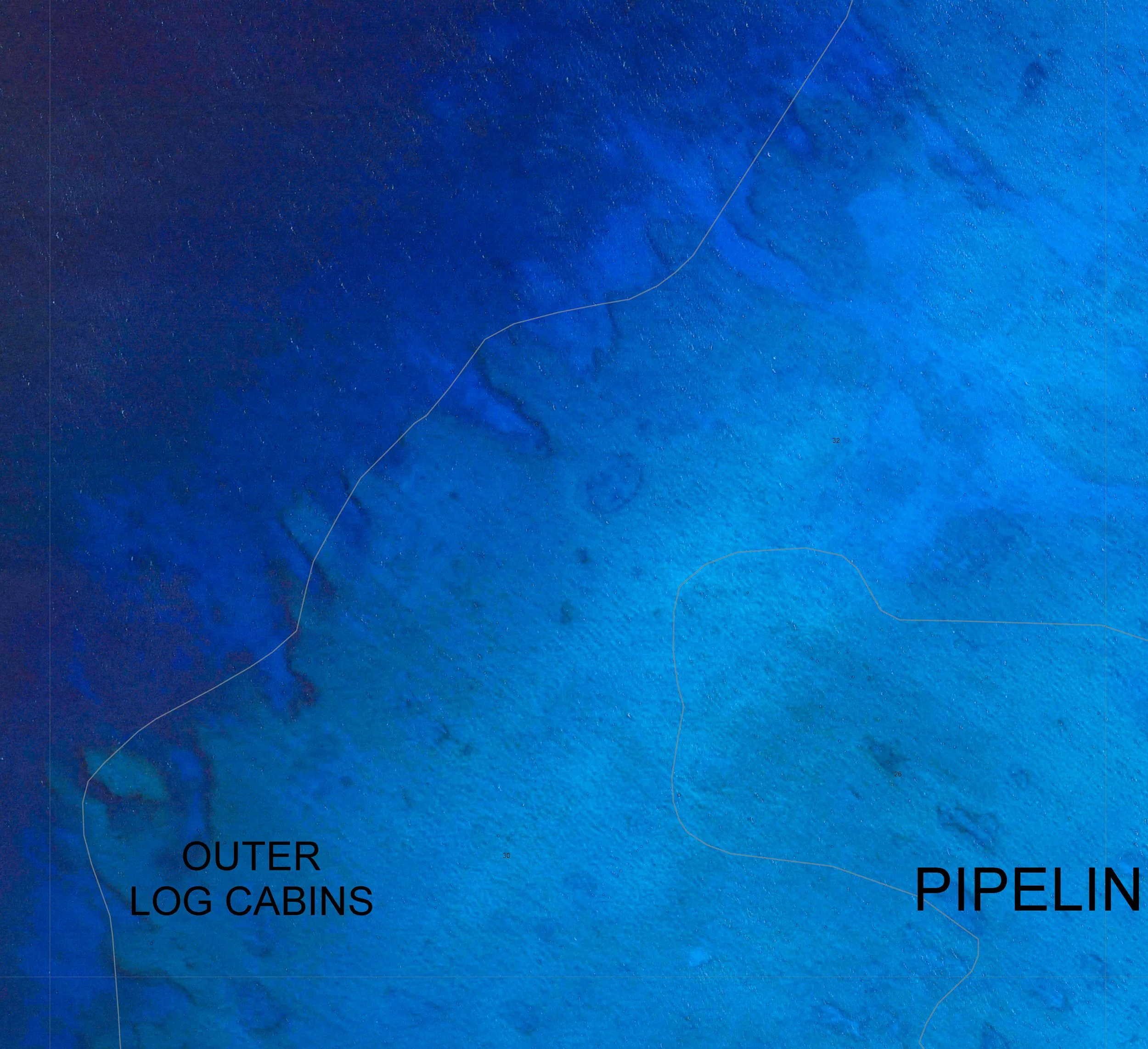
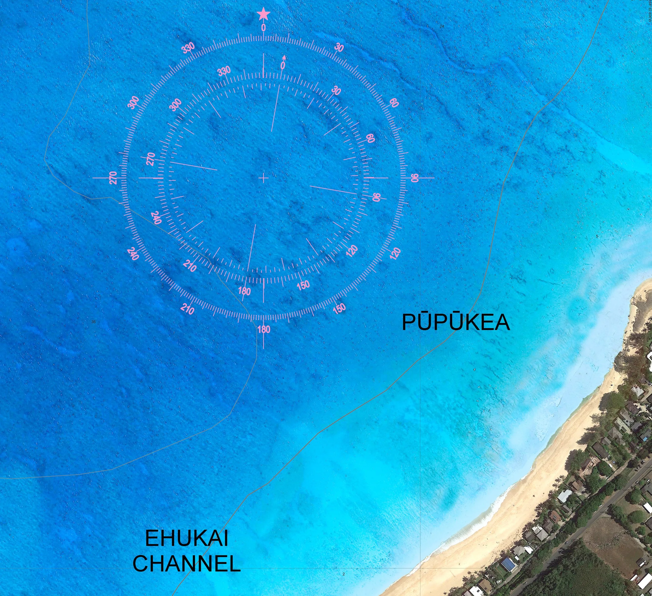
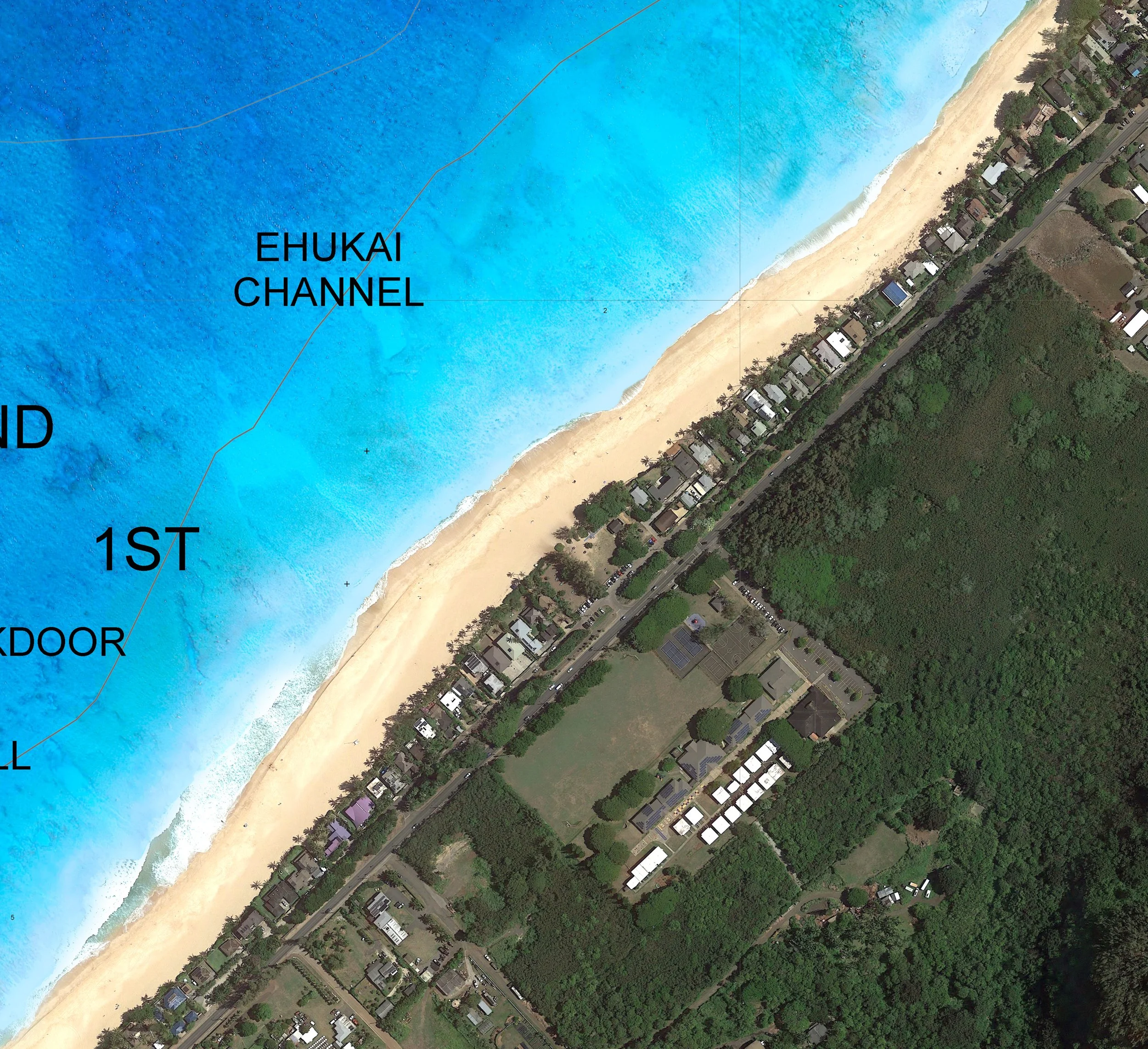
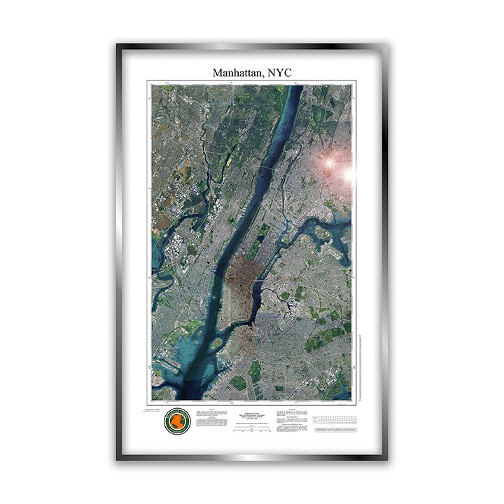
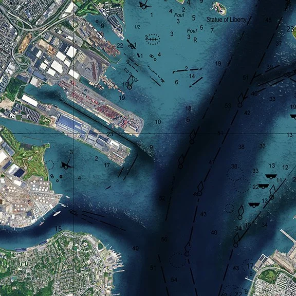
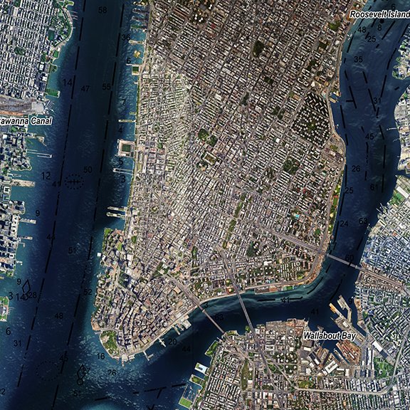
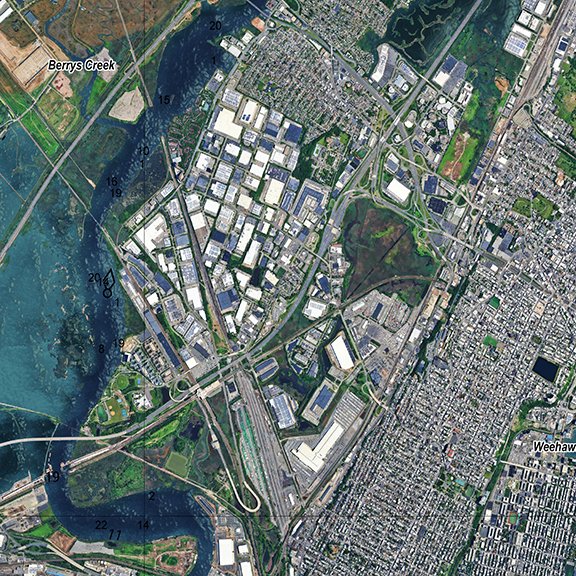
3D Digitally Printed Nautical Charts
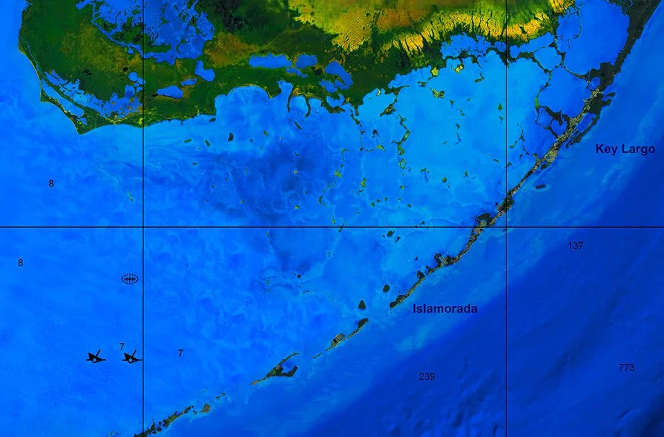
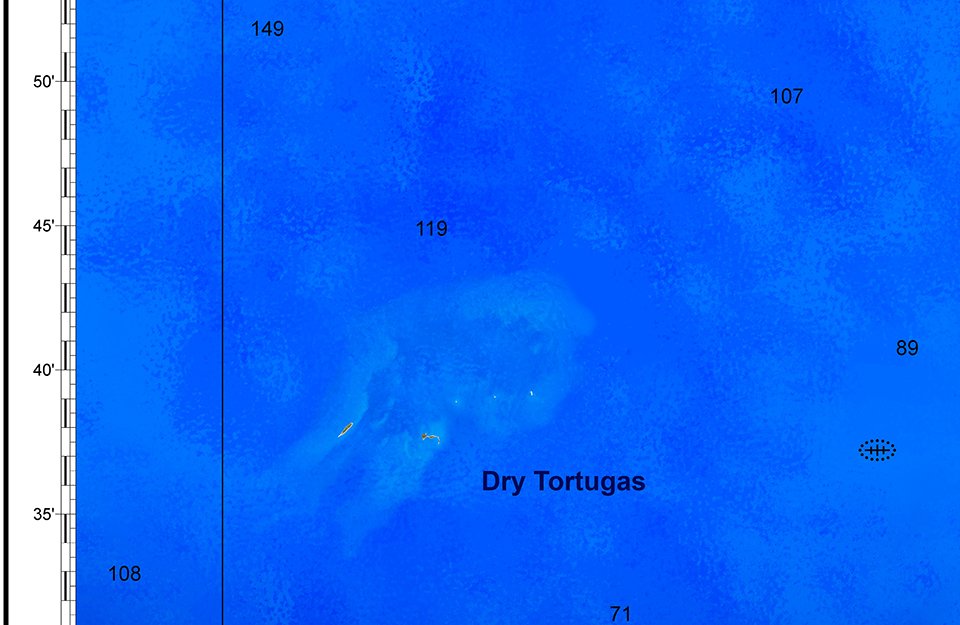
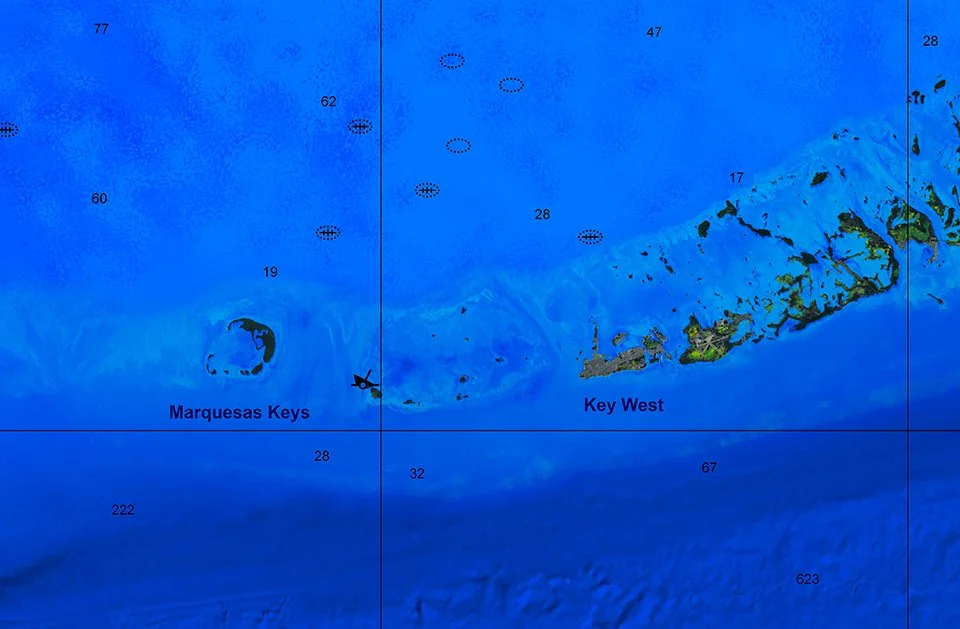
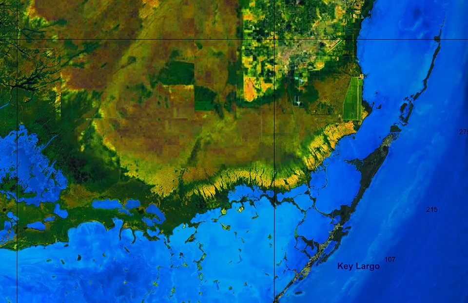
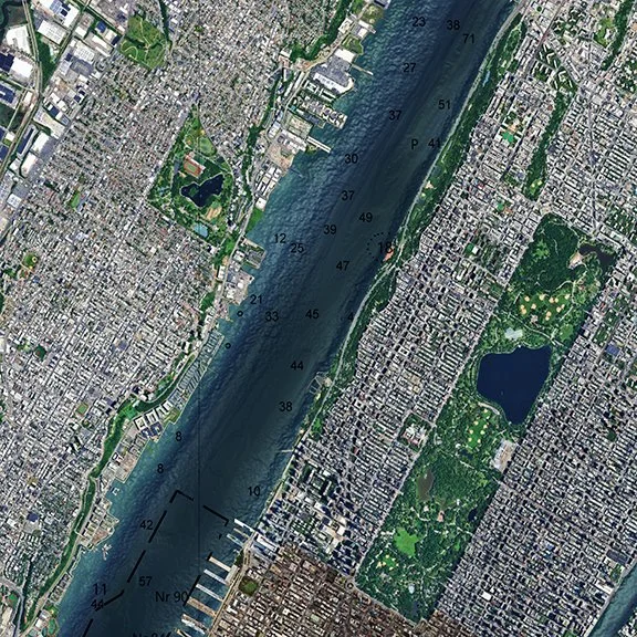
Land and chart data on top. Bottom layer is the seabed.
New! Personalize Your Chart!
New! Personalize Your Chart!
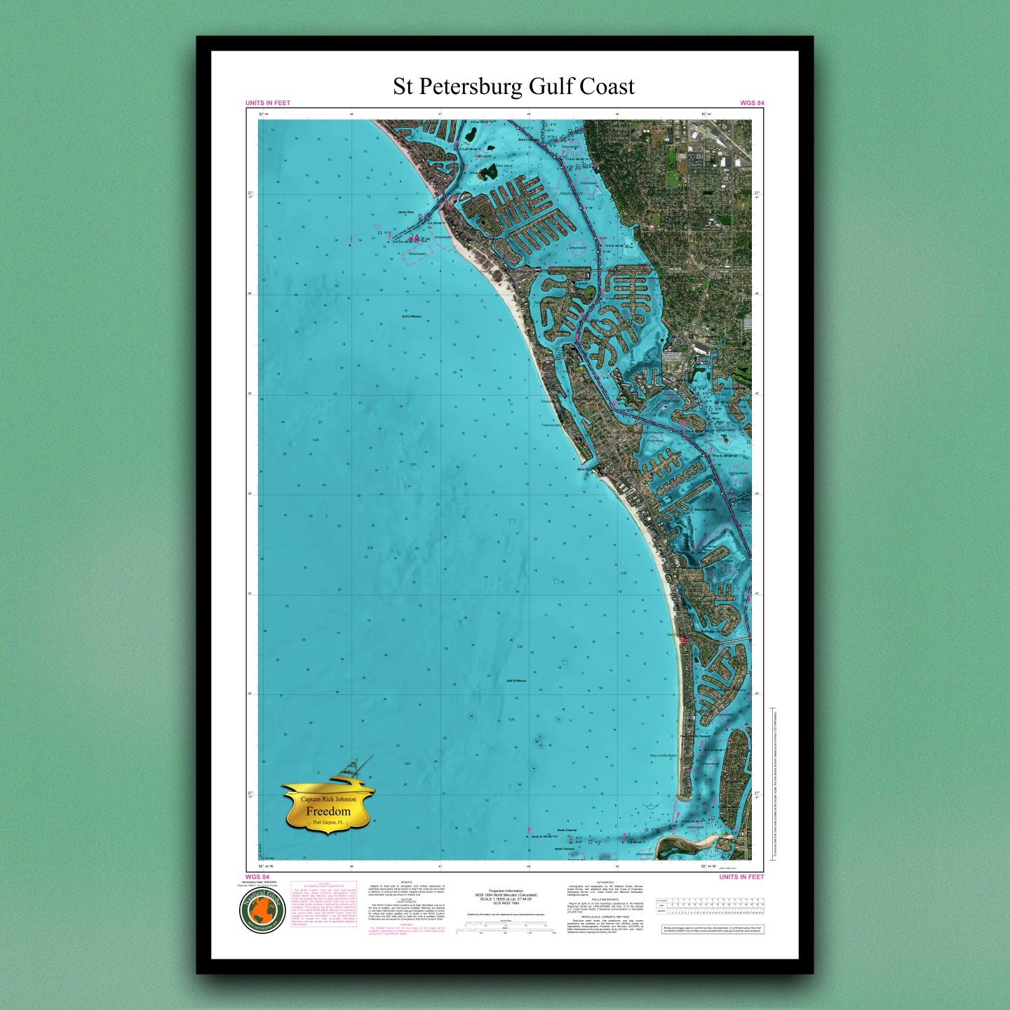
Now you can add a boat plaque, personal message shield, or your burgee flag to your chart. Add your boat name or your family name to make this piece truly personal.

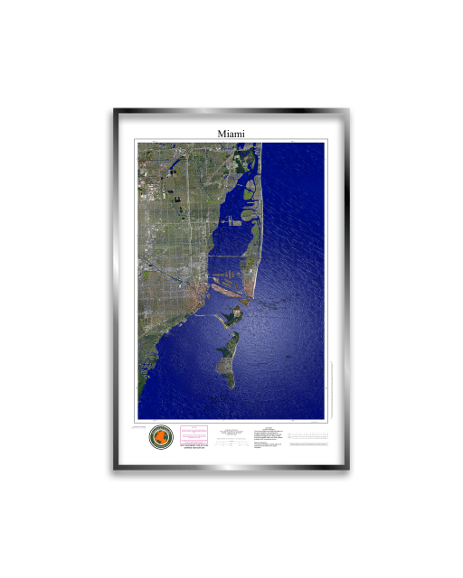
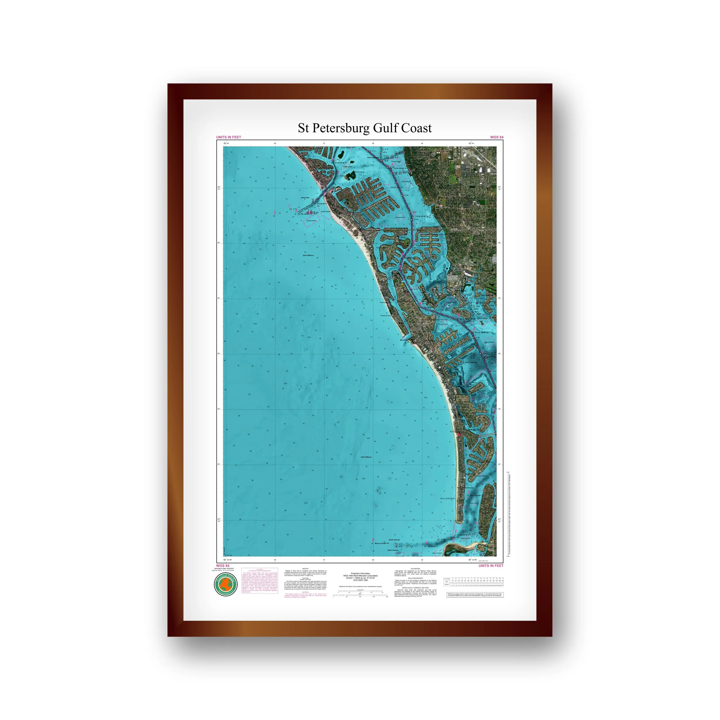


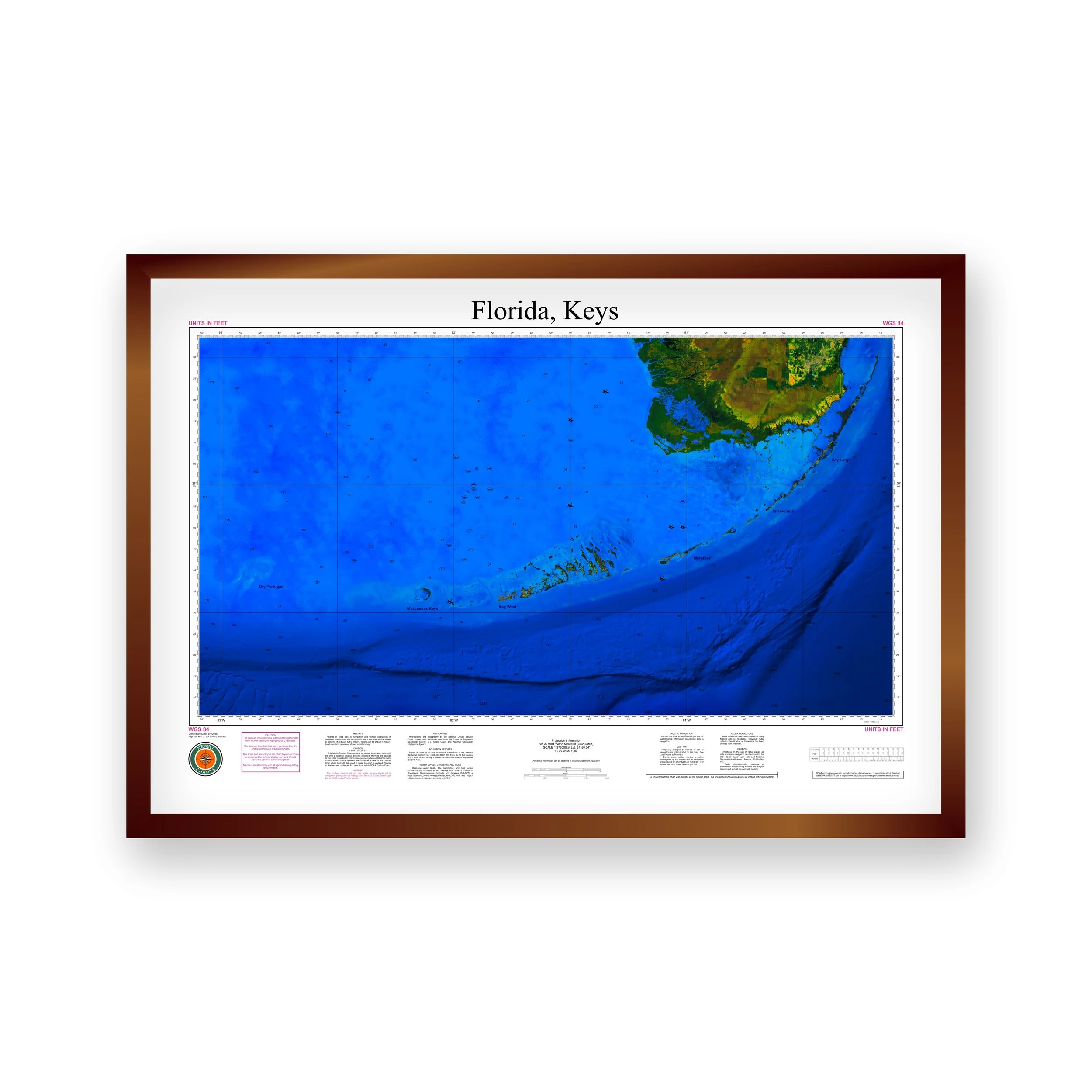

Just Released!